
Standing stones and cord rig - or sheep tracks.
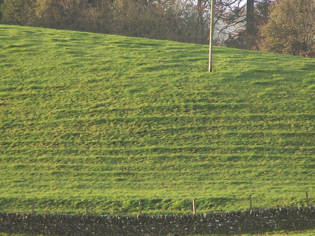
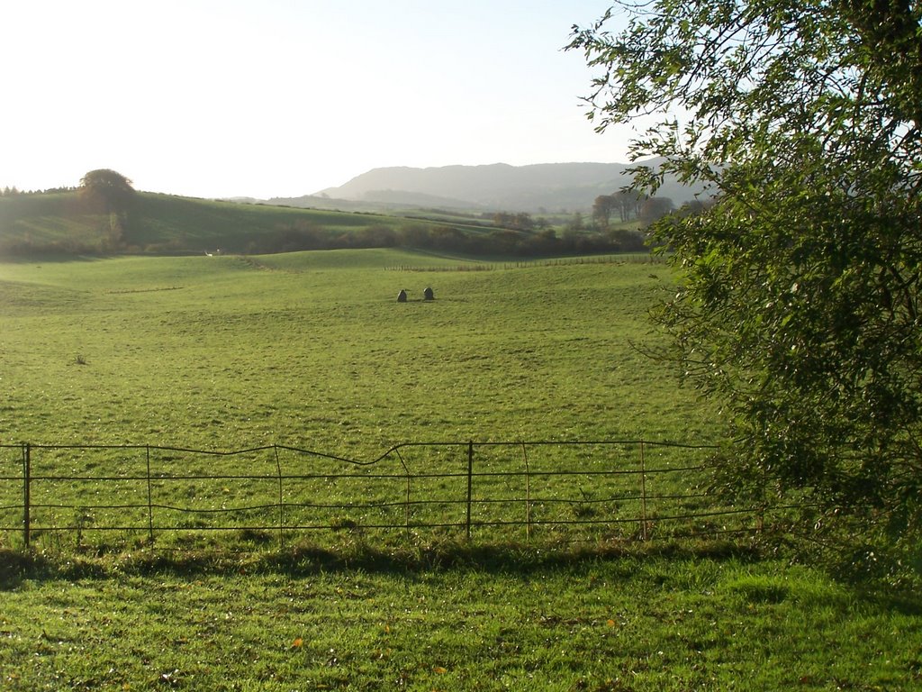
 In a field below the Urr Valley Hotel and Ernespie farm on the north west edge of Castle Douglas are two small standing stones. About 500 metres from these stones, on the sloping face of a hill are a set of parallel field markings.
One possibility is that these are the remnants of prehistoric 'cord-rig'. The other that they are sheep-tracks. Soil-creep has also been suggested.
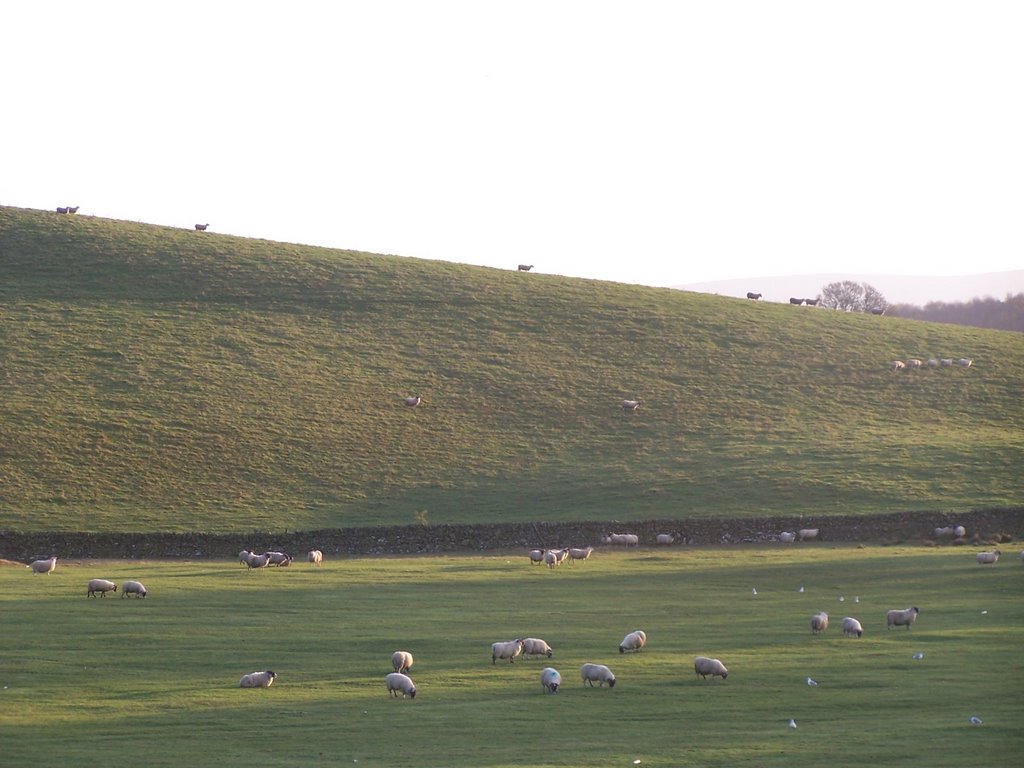
This morning I walked out to Ernespie and took a set of photos of the standings stones, field markings and of the immediate area. I took sevral photos of fields and hills (the hills are small 'drumlin' type glacial deposits).
As you can see, sheep do graze in the fields, and walk around on the slopes of the hills, but in a 'random', sheepish way. It is hard to imagine how they could have created the parallel markings on one but not other hills.
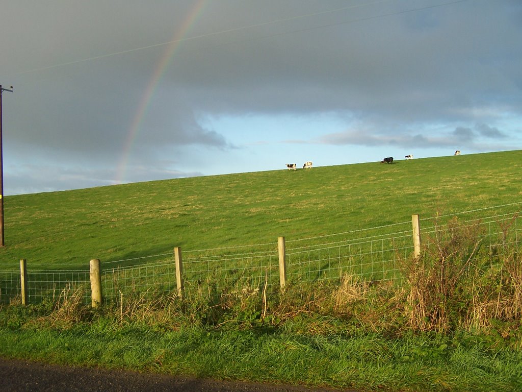
However the main type of farming is dairy. The farm shown is Gerranton, and the photo was taken half-way between Ernespie and Blackerne farms, which are 1km apart. Gerranton is 1km from Hillowton, and Hillowton less than a km from Chapmanton. The farms are listed as belonging to Lincluden Collegiate Church in 1560, when they were arable farms.
They are also in Crossmichael parish (its boundary with Kelton passes through the standing stones). This is an interesting boundary. Farms within Kelton parish belonged directly to the lordship of Galloway, and (e.g. Carlingwark, Whitepark and Threave) were amongst those listed as forfeit to the Crown in 1456. In some places, e.g. Blackpark/ Carlingwark , the farm boundary is the parish boundary. Blackpark was a Lincluden farm and so in Crossmichael, whilst Carlingwark (no longer a farm, now part of Castle Douglas) was lordship so in Kelton.
Since the original gift of land to Lincluden nunnery (as it then was) was made by Uchtred, son of Fergus, of Galloway in 1174, this is a very old boundary.
Could it be even older? The Kelton parish boundary makes a 'omega' shaped loop around Carlingwark loch, following the course of two streams which flowed southish down into the marshland to the west and east of the loch, with the standing stones and Erne Hill at the top of the loop. Since the loch appears from recovery of votive offerings [ Carlingwark Cauldron plus others] to have been a late Bronze Age/ Iron Age religious site, perhaps the boundary is also prehistoric?
posted by Unknown | 12:13 PM
![]()
![]()
0 Comments:
Post a Comment
<< Home